

The Best Trails & Viewpoints for Photographing Yosemite Valley
Yosemite Valley is one of the most visually striking landscapes in the world. There are granite walls rising thousands of feet, waterfalls carving through polished stone, and breathtaking views in all directions. Every trail reveals the valley differently, and for photographers, route choice becomes everything. Yosemite rewards movement. The more you walk, the more the valley opens.
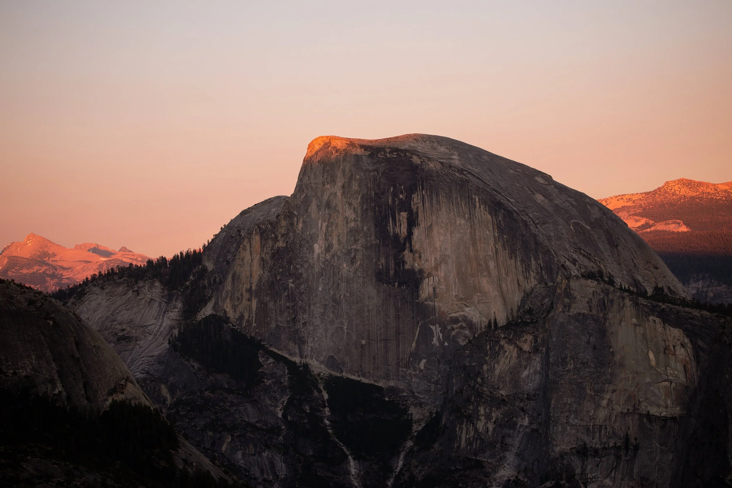
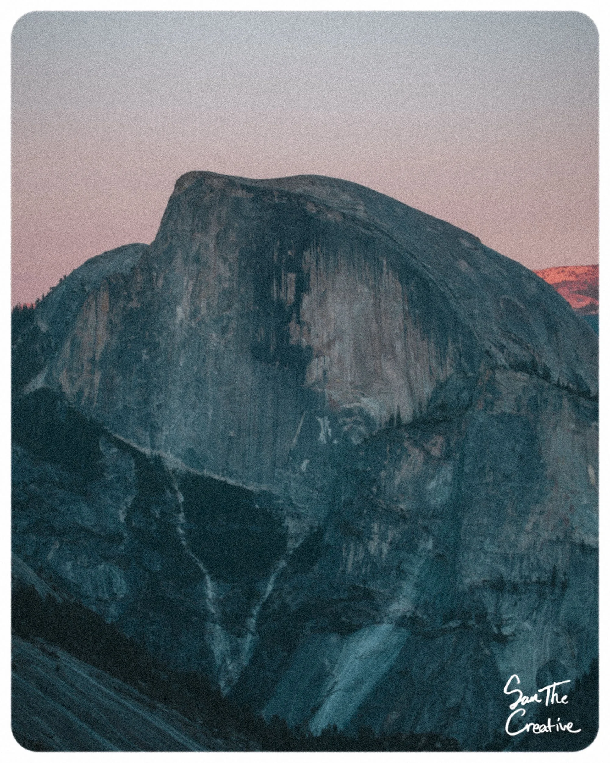
Half Dome from the Yosemite Point overlook.
Tunnel View, The Wawona Tunnel
Tunnel View is the entrance scene most visitors drive through first and remember forever. In this natural frame, El Capitan dominates the left, Bridalveil Falls pours from the right, and Half Dome stands centered in the back like a monument. This is the easiest viewpoint, as there is a parking lot directly after exiting the tunnel. Beware that this spot fills up quickly!
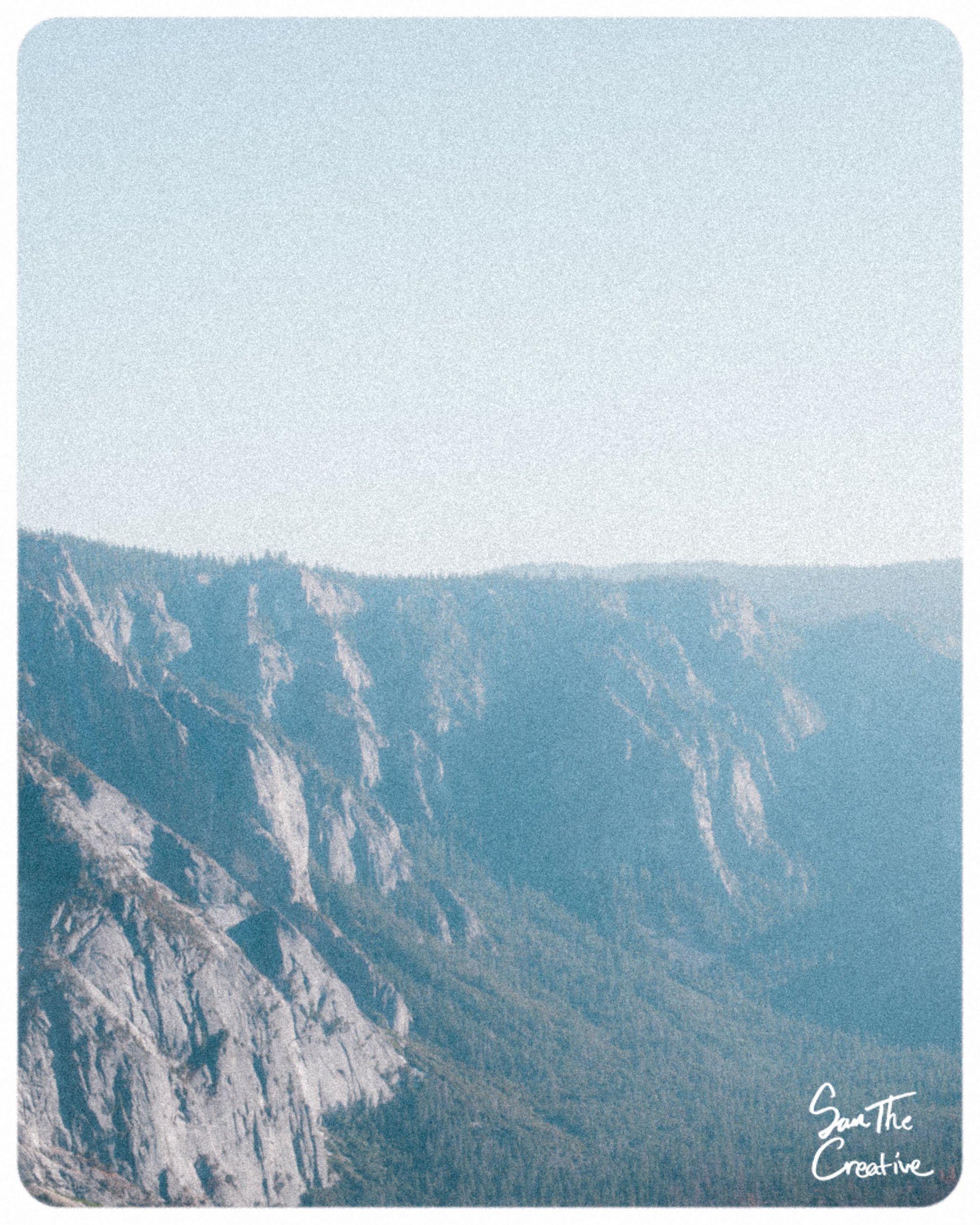
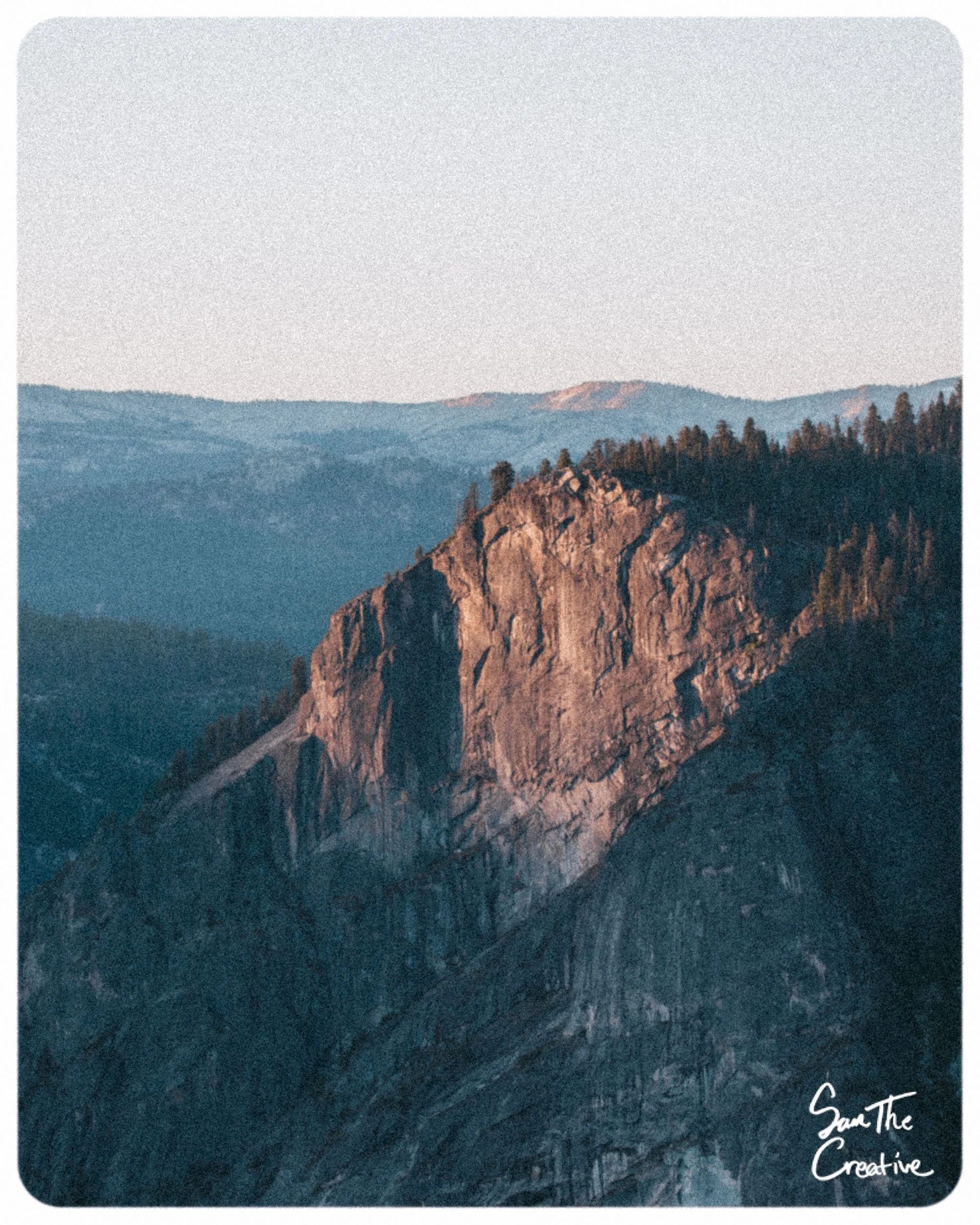
Glacier Point, The High Perspective
Glacier Point sits high above the valley, giving a panoramic shot of the left side of the valley where Half Dome, El Capitan, and Yosemite Falls rest. Looking over, the Merced River looks like a silver thread, and Yosemite Falls falls in two stages like a ribbon cut from the sky. To the right, sunset creates deep color behind Half Dome’s face and illuminates its backside. Photographers climb here for scale, atmosphere, and to capture the whole valley.
Go here for the NPS’s directions on how to get to Glacier Point.
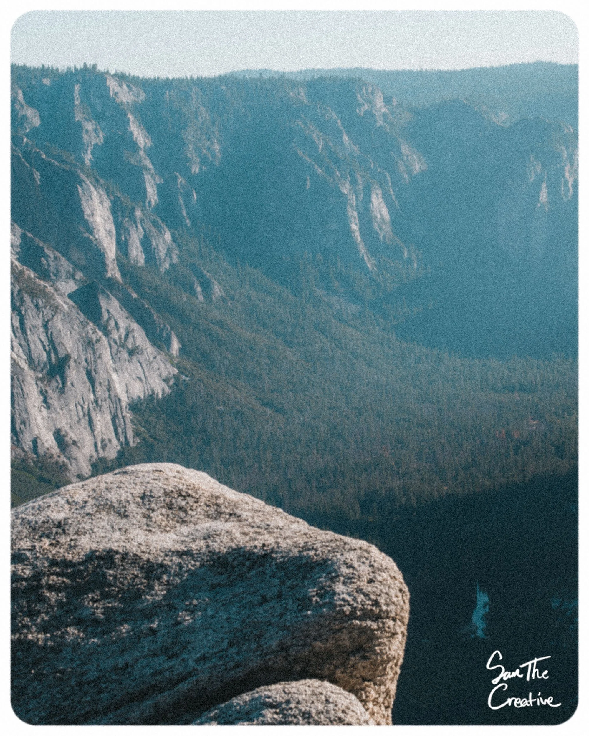
Taft Point
Taft Point offers another angle overlooking the left side of the Yosemite Valley. This trail head is accessible through Glacier Point. You can hit Glacier Point, Taft Point, and Sentinel Dome all in one day.
Here are the NPS’s tips and directions for Taft Point and Sentinel Dome. It is good to read all the info on trails on the NPS website before embarking.
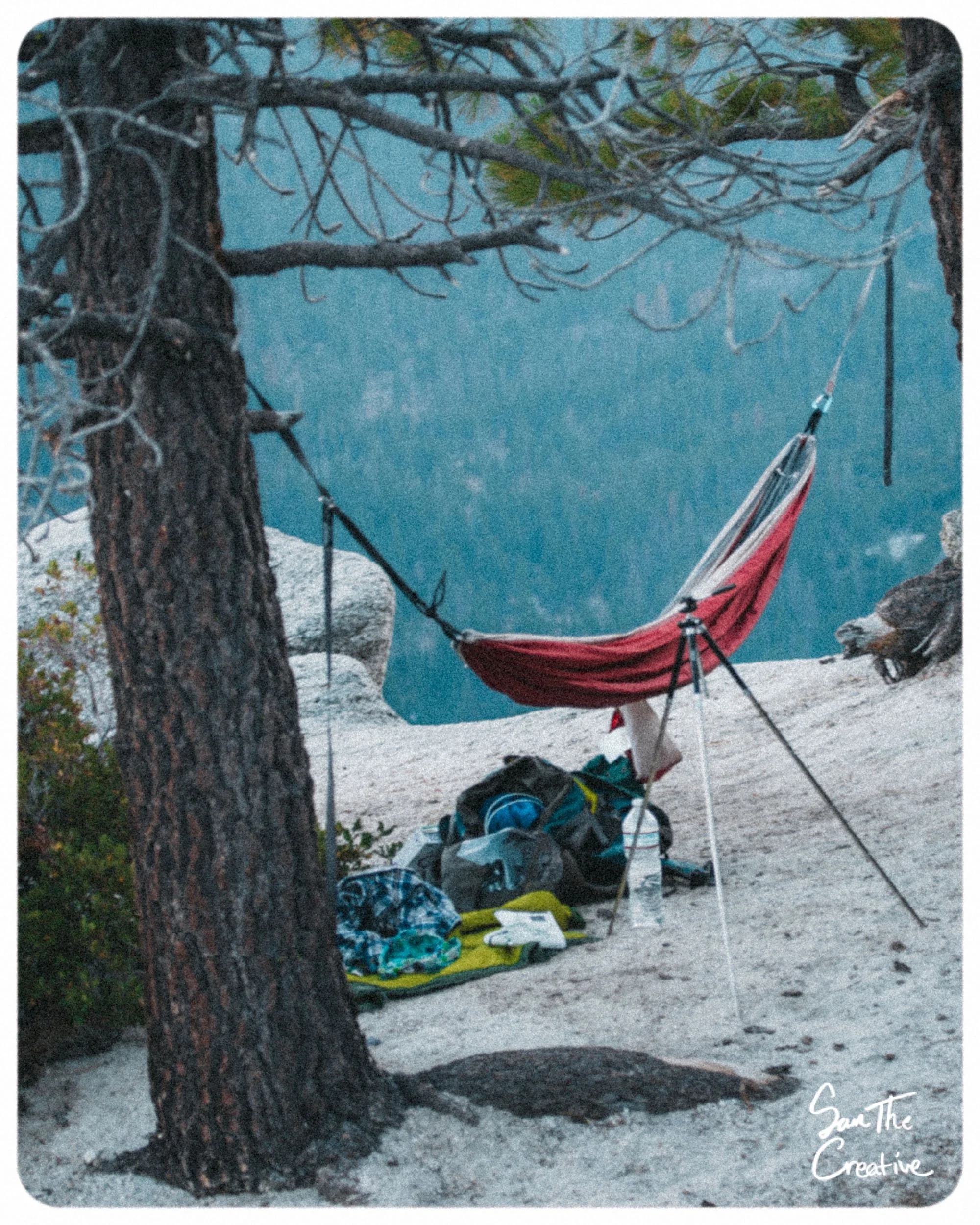
Sentinel Dome, 360° Views
Requires hiking(Estimate: 2 Miles): Sentinel Dome requires only moderate effort, yet the reward is worth every step. From the top, you can see Yosemite Falls, Half Dome, El Capitan, and Cathedral Rocks in one slow turn. Also, on the other side, the full scale of the High Sierras. Bring your wide angles and 200 mm+!
Mist Trail — Vernal & Nevada Falls
Requires hiking(Estimate: 1.6 - 5.4 Miles): For those who want water, the Mist Trail is the way. Vernal and Nevada Falls explode with seasonal flow and for good reason. The trail blazers did wonders for the everyday day hiker with granite staircases, bridges, and more.
The hike to Vernal and Nevada Falls begins with an easy 0.8-mile walk to a footbridge with a great view of Vernal Fall, after which the trail splits into the Mist Trail and the John Muir Trail. To reach the top of Vernal Fall, follow the Mist Trail up a steep granite staircase of more than 600 steps, where spring and early summer bring heavy spray, slippery footing, and frequent rainbows in the mist. From the top of the 317-foot waterfall, hikers can turn back, take the longer John Muir Trail loop, or continue on the Mist Trail past Emerald Pool and Silver Apron toward Nevada Fall, though swimming there is dangerous and illegal. The climb to Nevada Fall adds another 1.5 miles of rocky switchbacks before reaching the 594-foot cascade, with a footbridge over the Merced River offering close views of the rushing water. For the return, hikers can retrace the Mist Trail or take the longer but scenic John Muir Trail, which provides different perspectives of Liberty Cap and Nevada Fall on the way back to Yosemite Valley.
Go here for the NSP’s directions and tips for Vernal & Nevada Falls.
Valley Loop — Ground-Level Perspective
Requires Hiking(7.2-11.5 Miles): Walking the Valley Loop Trail gives eye-level intimacy with the valley’s meadows, river curves, and native plants. Photographers can capture leading lines of the Mercade River, floral shots, and many breathtaking wide-angle shots of grasslands, tall granite walls, and more.
Feel free to only walk small portions of this trail. You can view the NPS’s descriptions and tips here.
Yosemite Falls Trail and Yosemite Point
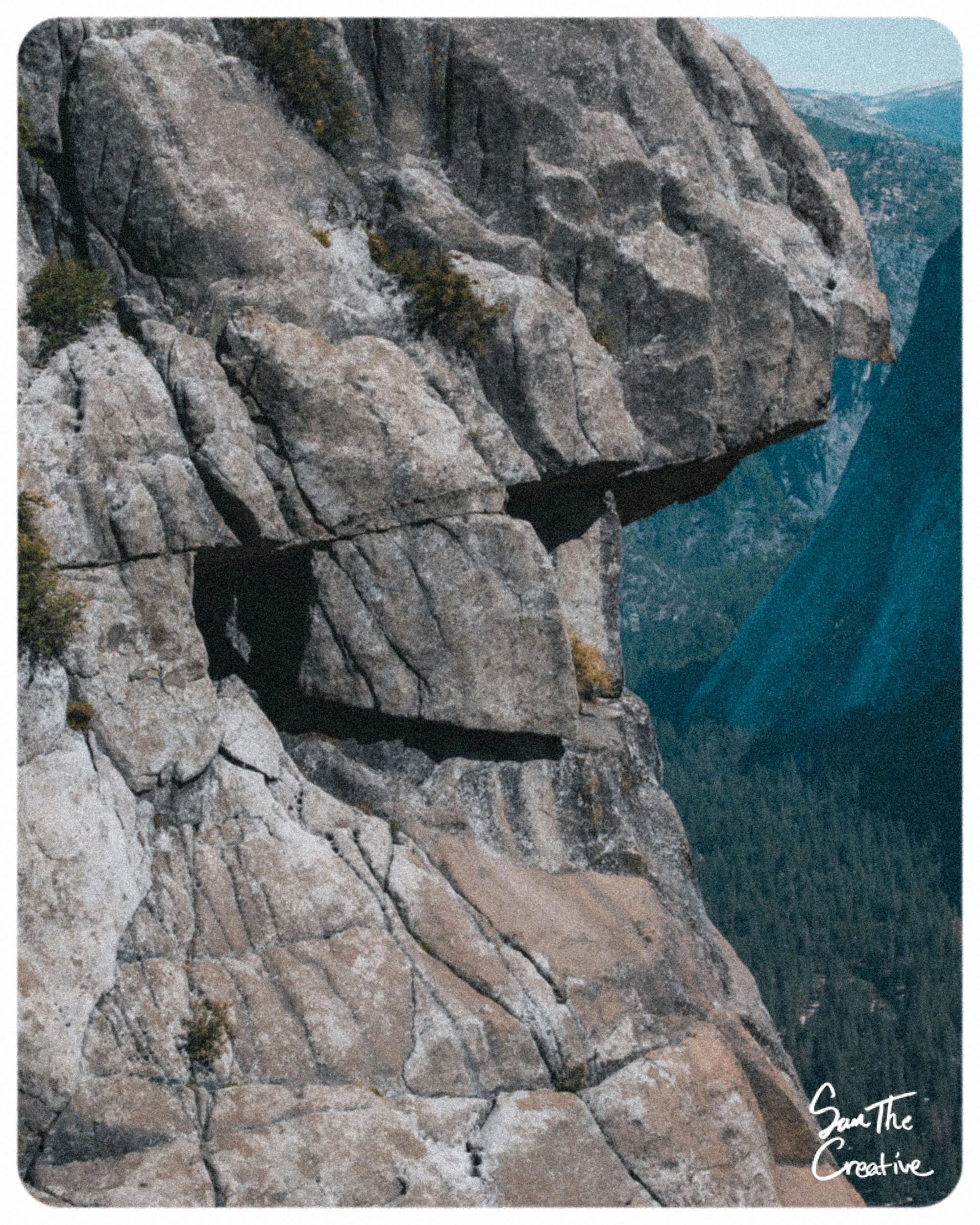
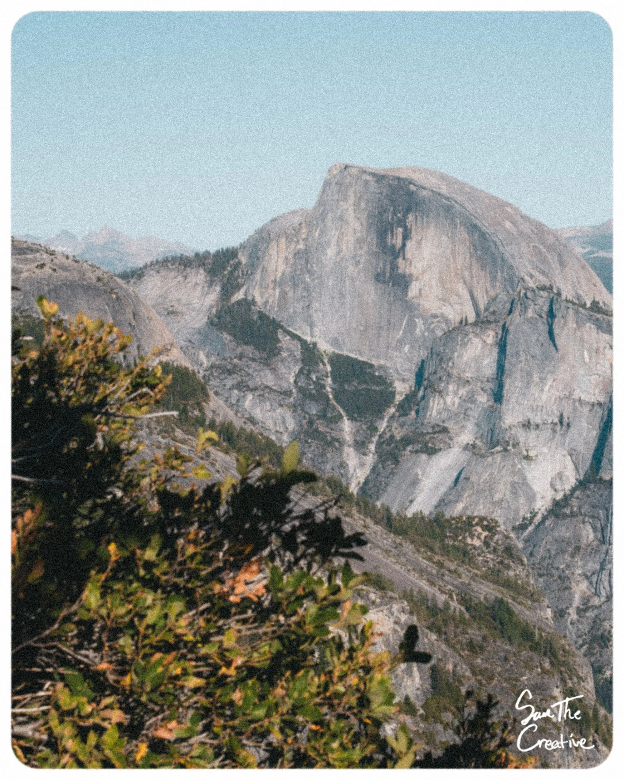
Requires Hiking(7.2+ Miles): This is my personal favorite trail I have done in the Yosemite Valley. This will take you past Columbia Rock, Yosemite Falls, the top of Yosemite Falls, and, if you walk a little further, Yosemite Point. Once you reach the falls, you’ll see up close the Yosemite Creek rush over the edge of the cliff. Once you reach Yosemite Point, you’ll be face-to-face with Half Dome. This is the best photo spot for the Yosemite poster child.
It is advised to review the NPS’s guide for this trail, as it is more advanced. You can view the guide here.
The Yosemite is a one-of-a-kind Photography spot
There is nothing like the Yosemite Valley in the realm of outdoor photography. Half Dome’s history of formation and Yosemite Falls’ 2,400-foot drop are not the easiest things to find in nature. California’s west coast sunsets illuminate the granite cliffs and, in the distance, reveal mixes of teals and purple, pairing with the high sierra evergreen. Luckily, with the beautiful Yosemite Valley and its organization of trails and roads, you can capture more than you could imagine with one trip.
Check out the website and app All Trails for fully outlined maps of all the trails above.